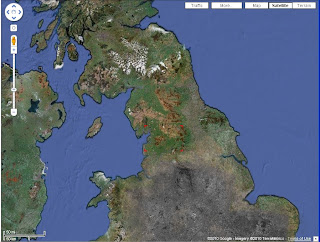
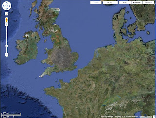
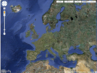
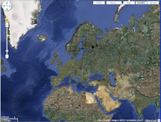
I used Google Earth to aquire multiple shots of the United Kingdom, I did this by print screening at intervals as I zoomed in, I made sure to keep two red squares visible as I zoomed in to give it an effect of placement for the scientist. This gives it a sence of continuity.
The images I then put in Photoshop and cropped them to be the same, I made the desision to retain the google interface as this would give it some realism to the audience. Once they had been cropped I edited the land mass of lower England to look like it had been destroyed. This was done via colour hues and brushes to alter and distort the original picture. Every picture was done this way.


No comments:
Post a Comment